Skip to content
Jefferson County GISJonas Tankersley2018-09-14T17:30:06+00:00
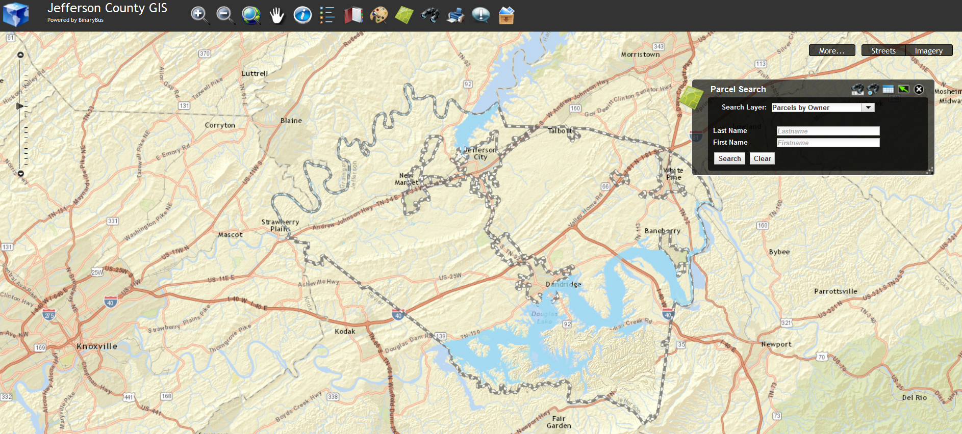
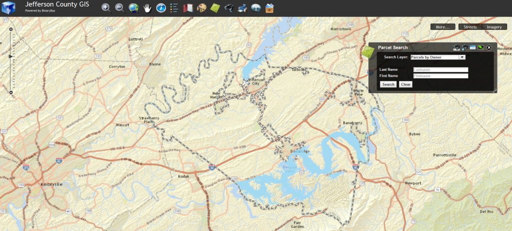
Jefferson County GIS, or Geographic Information System, interface provides aerial photographs, property assessment data, soil information, and links to the state assessment website. Jefferson County GIS is a web-based application that allows users to navigate, query, and report on spatial and non-spatial information, through the use of simple data queries and pan/zoom interface, or advanced GIS functions. Please visit www.jeffersoncogis.org for more information.
Page load link